During an event on May 12 to launch a new report on transit accessibility to jobs in metropolitan areas, Robert Puentes presented an overview of the findings and urged regional leaders to consider the economic opportunities that adequate transportation can bring.
We believe we may have a public transit moment before us in the U.S. today.
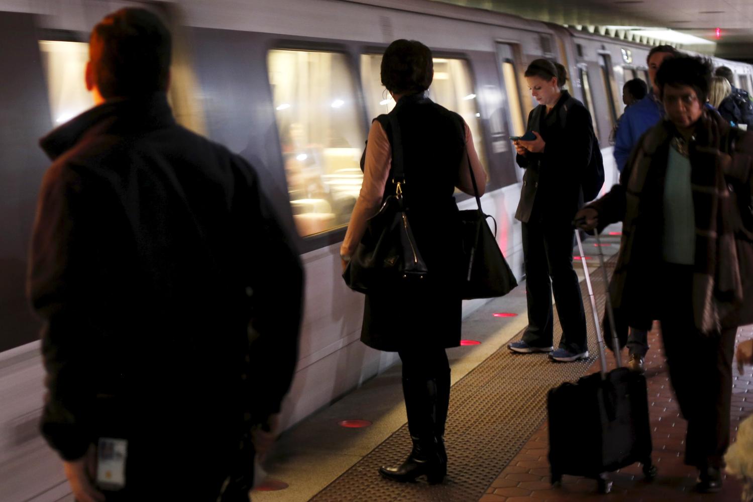
From major metropolitan systems with iconic transit like New York and Washington …. To new light rail lines … like those that just opened up in Charlotte and Phoenix…. To growing bus networks in Colorado Springs and Albuquerque ….. Even the ferry boats that traverse the Puget Sound and Boston Harbor ….
Public transit is a critical part of the economic and social fabric of these as well as other metropolitan areas.
Every year, over 10 billion trips are taken using public transit. A number that has generally been trending up in recent years. Almost all of these trips occur in the nation’s 100 largest metro areas. These places are the real heart of the American economy—and harbor two-thirds of our population, generate 75 percent of our gross domestic product, and account for over 95 percent of all transit passenger miles traveled. Every single one of the 100 largest metros has some form of public transit.
Education, shopping, health care, and recreation: These are some of the reasons why people take transit in metropolitan America. But one of the most important is to get to work.
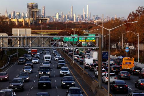
While three out of four commutes still occur alone in a car, recent statistics show that the share of Americans getting to work by transit grew during the last decade for the first time in a generation.
Despite the recent leveling off due to the recession we do consider this to be a moment for public transit in America. There are several driving forces:
First is the emerging disruption of escalating gas prices. The U.S. Energy Information Administration—along with most Americans—is already looking out for $4 gas (if they’re not seeing it already). These rising fuel prices will drive increased demand for transit as commuters seek to reduce their travel costs.
But whether commuters will shift to transit is the result of many things … including whether or not transit is even available and whether it gets people where they want to go. More on that in a minute.
Transit will also benefit from the fact that we are a growing nation. By 2050, we could grow—incredibly—by another 130 million people. That’s more than the entire population that today lives west of the Mississippi River. What is more is that three-quarters of this growth will occur in metropolitan areas.
Another driving force is the imperative of lower carbon. Today in the U.S., transportation is the single largest contributor to the nation’s carbon footprint. And even small increases in driving will still spew out more and more carbon—potentially wiping out the benefits gained from more fuel efficient cars and the expansion of cleaner fuel alternatives.
So given these forces the natural question is: Are we ready for this public transit moment? How well does transit cover our metropolitan areas? How well does transit connect metropolitan workers to jobs? And how well does transit function for those workers who may need it most?
Our challenge is that, when it comes to answering these questions, strikingly little is known. In the U.S. today, we have no consistent transit information across and between metropolitan areas.
So to better understand these issues, we analyzed, collected, and—in some cases—built geospatial data for 371 systems that provide transit service in the nation’s 100 largest metros. As you can imagine, the data collection was the hard part.
In some cases, the data were easy to find—such as the information that goes in to web-based transit routing tools which many of the nation’s largest transit systems already use. In other cases (like when we got this information on paper) we had to create digital route and schedule information from scratch. The comprehensive database that results provides the first comparable, detailed look at the relationship between transit service, income, and the location of employment.
Let’s see how this all plays out in Denver—a metro area with a robust network of transit routes that largely mirror the street grid. A worker living in Littleton, a southern suburb, could walk to the new light rail line a few blocks from their home and ride it all the way to work near 16th and California in downtown Denver. There are no transfers required and the whole trip takes 34 minutes. To get to a job in the eastern suburb of Stapleton, that commuter would continue on the train, then transfer to a bus. That whole trip takes 85 minutes.
Our model simulated literally billions of similar commute trips for every neighborhood with transit service in the 100 largest metro areas.
So, what did we find?
- First is that nationally we face a transit paradox between transit coverage and job access;
- Second, is that by virtue of policy, the market, and a little luck there is clear variation between metro areas; and
- Third, we need a new game plan for helping Americans get to work.
The Brookings Institution is committed to quality, independence, and impact.
We are supported by a diverse array of funders. In line with our values and policies, each Brookings publication represents the sole views of its author(s).


Commentary
Missed Opportunity: Transit and Jobs in Metropolitan America
May 12, 2011