The rise of ride-sharing, bike-share programs, and now electric scooters prompt new questions about the future of transportation in cities. How will these new business models fit in with traditional options like personal car ownership and public mass transit? To study the effect of ride-sharing on traffic and the wages of drivers, the New York City Council voted on August 8 to cap the number of new ride-sharing cars for a year. But a year is a long time in the technology industry, which will not stand still while the city council makes its determination. Many companies are also developing self-driving cars that may soon enter the transportation mix. The choices that city planners make today must bridge modes of transportation that are old, new, and those that have yet to arrive.
Finding the right number of vehicles
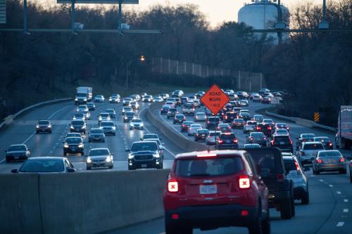
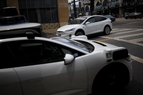
The New York cap on new drivers affects Uber, Lyft, and other ride-sharing companies within city limits. Mayor Bill de Blasio failed to impose a cap in 2015 after the ride-sharing companies organized drivers and riders to voice their opposition to the cap. Between 2015 and 2017, the Taxi and Limousine Commission totals of “black car” vehicles in the city more than doubled to over 80,000. Meanwhile, the average vehicle speed has dropped to 4.7 miles per hour in midtown Manhattan. Other studies suggest that ride-sharing services replace trips on public transportation; the New York cap coincides with declining service on city subways that has prompted many commuters to turn to more-reliable alternatives. Moving forward, city governments should ensure that ride-sharing services support and do not compete with public transportation infrastructure.
A more precise way to balance the tradeoffs between the more ride-sharing cars and different policy goals would entail greater data sharing with cities. Without hard numbers on how long cars spend waiting for passengers, cities must estimate what number of vehicles best serves customers without overcrowding streets. Vehicles may also crowd the densest parts of cities to get the most fares, which worsens congestion but does not expand geographic coverage. Without data on the origin and destination of rides, cities must also guess at how ride-sharing fits into a local transportation network. Sharing data with cities would allow ride-sharing companies and cities to arrive at a number of vehicles that solves these public policy goals.
Taxing rides
U.S. cities like Chicago, Philadelphia, New York, and Washington have enacted taxes on ride-sharing rides that fund public transportation. These taxes attack road congestion from both sides: higher prices discourage some customers from taking ride-sharing while additional funds for public transportation should improve service and attract more riders. Like a cap, however, these taxes also reduce the benefits of ride-sharing services. Commuters who live far from city centers and subway stations would still have few transportation options beside a personal vehicle. Caps on drivers and taxes on rides might reduce congestion, but would fail to expand access to transportation in underserved parts of a city.
A more efficient solution might be a straightforward congestion tax on any vehicles driving downtown. A congestion tax would generate funds for transportation infrastructure without discriminating between personal vehicles, taxis, or ride-sharing. London, Stockholm, and Singapore are among the few major cities with congestion pricing, and its relative scarcity speaks to its high political barriers. New York has repeatedly tried to enact congestion pricing, with the New York State Assembly failing to pass the most recent proposal as part of the budget this year. Legislators represent drivers who do not want to pay to use city streets, even though traffic imposes its own costs: the transportation consulting firm INRIX estimated the economic cost of New York City traffic at $33.7 billion in 2017 alone.
Geofencing as an alternative
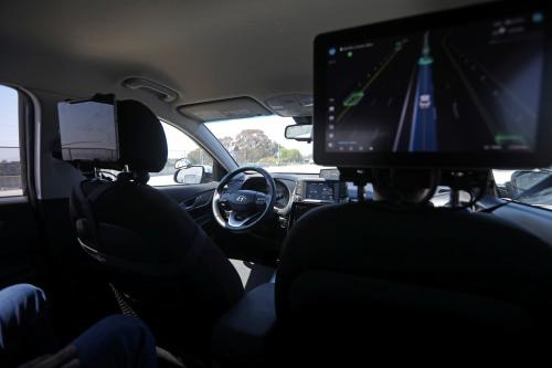
If a congestion tax fails to garner sufficient political support, another potential solution could be “geofencing” ride-sharing apps within underserved parts of a city. Using GPS location data to limit the range of ride-sharing trips outside of city centers could mimic the effects of a congestion tax without similar political opposition. A point-to-point car trip completely outside of a city center would not contribute to congestion there. Commuters needing to travel downtown in cities with public transportation like New York could take ride-sharing to their nearest subway station, take a train downtown, and then a taxi, scooter, or bike for the last leg of the trip if needed. Geofencing would also work with self-driving cars, which could serve as the first- and last-mile for trips to and from city centers.
For a geofencing to accomplish its goals, each mode of transportation would need to work together: the entire network is only as strong as its weakest link. Subway systems must be reliable if cities expect commuters to use them, and trains can carry higher volumes of passengers than cars. However, rail systems only extend so far outside of city centers, leaving many surrounding areas underserved. Ride-sharing and eventually self-driving cars can fill in holes in coverage from public transportation, but they cannot entirely replace it in dense cities. The future of urban transportation should combine the best of old and new transportation technologies.
The Brookings Institution is committed to quality, independence, and impact.
We are supported by a diverse array of funders. In line with our values and policies, each Brookings publication represents the sole views of its author(s).







Commentary
How ride-sharing and self-driving cars could fill gaps in urban transportation
September 4, 2018