Connecting people and places:
Exploring new measures of travel behavior
The physical design of neighborhoods—from the density of their buildings to how they dedicate space for transportation—has far-reaching impacts on how people choose to travel. Reducing the physical distance between destinations and supporting proximity can allow for greater transportation choice and generate a range of shared benefits, including a cleaner environment, safer and more affordable transportation, and lower infrastructure costs.
Yet for decades, planners, policymakers, and other leaders across metropolitan America have overwhelmingly pursued land use and transportation policies that solely promote automobile use. Low-density neighborhoods, extensive highway construction, and a near-singular focus on congestion have stretched the distances between where people live and where they travel. Consequently, transportation is now the top source of greenhouse gas emissions, vehicle costs are the second-largest household expense, and roadway injuries and fatalities are on the rise.
This report uses data from digital tracking technologies to measure local travel habits in new ways, including by trip purpose and distance. Across six metro areas, we found that the distance of the average trip—to work, to the store, or to school, for example—exceeds 7 miles. (Read more in Finding 1 on page 17 of the full report.) For many individuals, the only choice for traveling such distances is by car, which contributes to the social, environmental, affordability, and public health challenges facing so many communities.
To confront those challenges, America needs to rethink its land use and transportation policies. Change will not be quick, though; it will take decades to build and promote human-scale neighborhoods. This detailed analysis of America’s travel habits reframes the challenges we face and offers new justification for policies to achieve a more inclusive and resilient built environment. (Read more about the report's methodology on page 13 of the full report.)
Your transportation choices vary depending on the built environment around you
...
Whether you live in a far-flung suburb or near the center of a big city, your transportation choices vary depending on the built environment around you. Metropolitan Chicago embodies the vast diversity of neighborhood design—and thus, the range of distances people in those neighborhoods travel each day.
This is one tract within Roselle, Ill., a Chicago suburb. The median income is $75,995, close to the metropolitan average. The design is automobile-oriented, with low-density housing and commerce leading to significant distances between each building.
The average trip from this tract is 9 miles. That includes a common commute to Addison, which is a major suburban job center connected by highway.
While driving this distance may only take 20 minutes, it would be dangerous by bicycle, essentially impossible to walk, and transit is triple the time of driving. It’s little wonder, then, why over 85% of Chicago’s suburban residents commute to work by car.
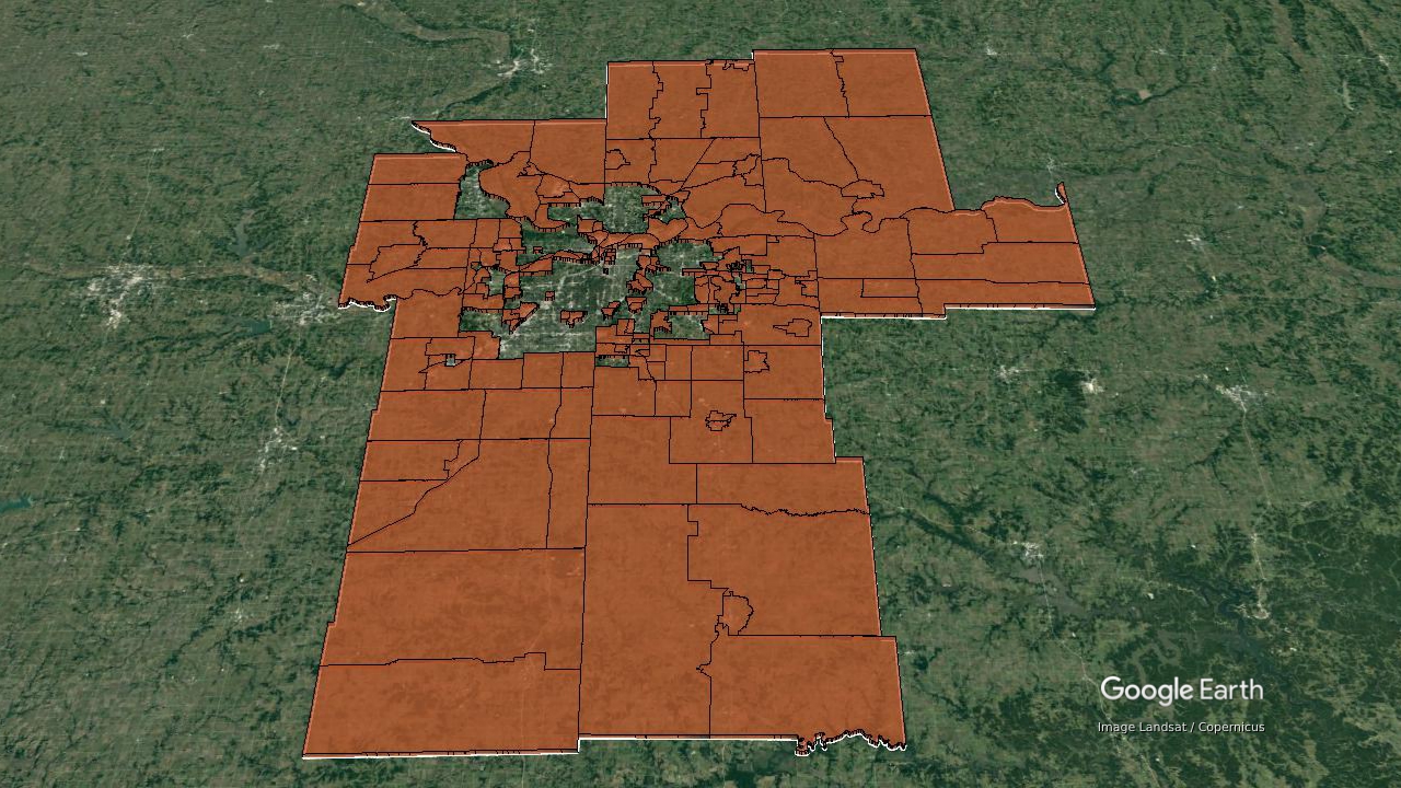
Long-distance trips are typical in suburbs across the country
The maps below show neighborhoods where the average trip distance exceeds 8 miles. These places are often designed exclusively for the automobile, meaning they rely on wide, high-speed roads, separate commerce and industry from residents, and demand ample parking to allow drivers to cover ground quickly.
Since over half of all Americans live in suburbs, this is the reality for most metropolitan residents. And even for those who don’t live in suburbs, over 43% of jobs are at least 10 miles away from traditional central business districts (the downtown area), meaning even city residents must often travel to far-flung places for work. (Read more in Finding 2 on page 20 of the full report.)
Average trip distance, by purpose and county geography, six-metropolitan-area average

Source: Brookings analysis of Replica data

Highlighted tracts within the Dallas Metropolitan Area depict areas where the average trip distance exceeds 8 miles.
Highlighted tracts within the Kansas City Metropolitan Area depict areas where the average trip distance exceeds 8 miles.
Not all neighborhoods look like the suburbs
...
Returning to Chicago, the density and variety of buildings change as you get closer to the historic core.
This is a neighborhood in Logan Square, a historic neighborhood in the city of Chicago. Its median income of $70,313 is similar to Roselle. But travel behavior there is considerably different, with the average trip only covering 4.4 miles.
One of the most common trips from Logan Square is into downtown Chicago, which matches the neighborhood’s average trip distance.
As you move along Milwaukee Avenue, not only are the buildings densely packed, but there are bike lanes and rail service too. The density of buildings helps planners offer more transportation choice.
Shorter-distance trips are typical in the urban core. These neighborhoods use more human-scale designs, where different critical destinations like groceries, community centers, and jobs are closer together. (Read more in Finding 3 on page 24 of the full report.)
What kinds of design features are typical in these neighborhoods? They tend to have shorter blocks, more intersections per acre, and consume less land overall. Combined, those features tend to produce more trips lasting only 1, 2, or 3 miles.
Downtown Portland
Downtown Sacramento
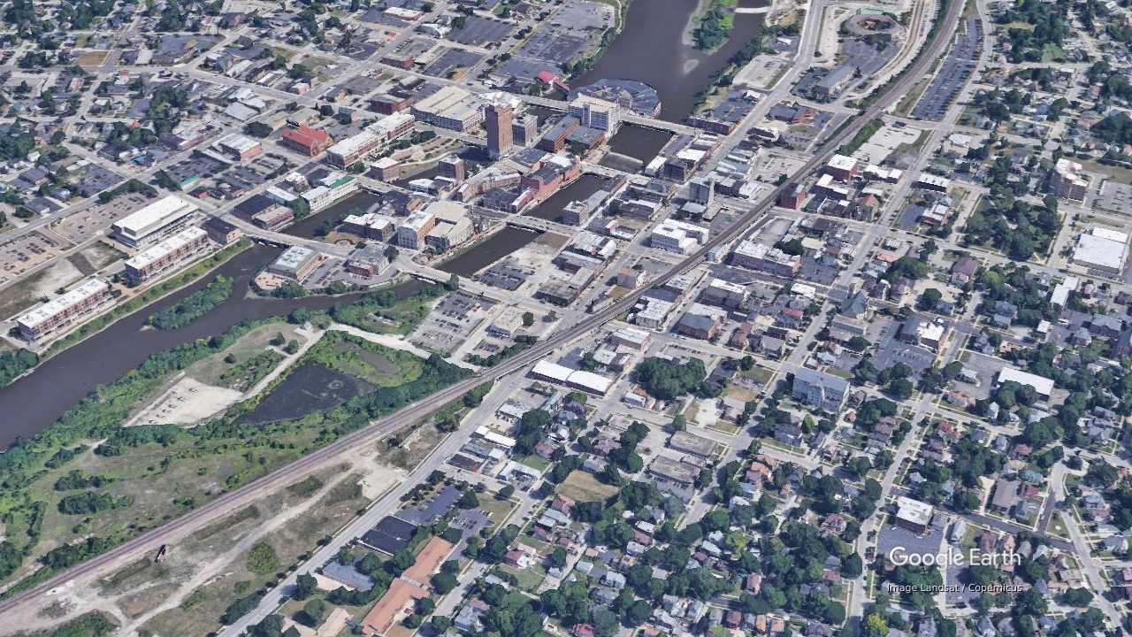
Critically, these design features are found in the suburbs too. Neighborhoods built at a human scale—many of which are older than the automobile—function as ‘transportation islands.’ Trips in towns such as Aurora, Joliet, and Wheaton all end up looking more like central Chicago neighborhoods, even though they’re surrounded by automobile-oriented land use patterns.
Aurora, Ill.
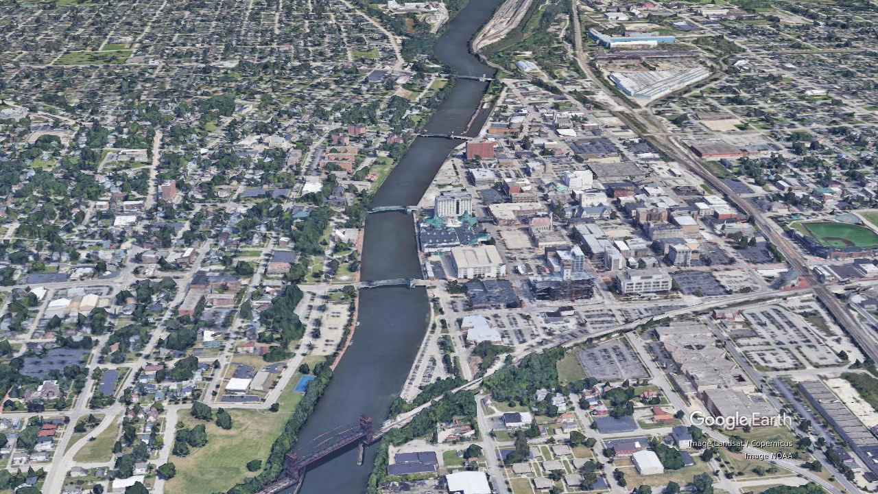
Joliet, Ill.
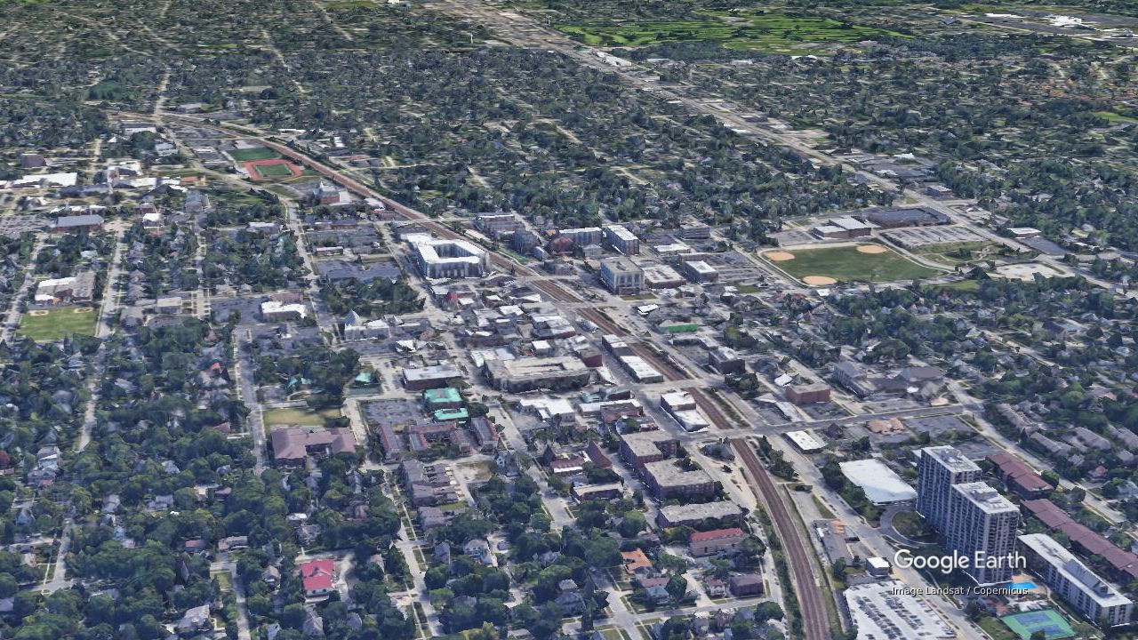
Wheaton, Ill.
These travel patterns reveal how different land use characteristics can impact transportation behavior.
Neighborhoods with automobile-oriented designs encourage long-distance trips, discourage transportation choice, and generate a range of societal costs. Meanwhile, proximity-focused neighborhoods counter the structural biases related to automobile-oriented development.
The challenge moving forward is how planners, engineers, real estate developers, financiers, and others can build neighborhoods that promote human-scale proximity and shift housing, employment, and other activity toward them. These findings point to three broad implications: (Read more about policy implications on page 30 in the full report.)
Transportation policy should use pricing and performance measurement to more actively support human-scale neighborhoods. This includes enacting congestion and vehicle miles traveled (VMT) fees, increasing the cost of parking, and reinvesting these revenues in human-scale transportation infrastructure. To guide future planning and investments, practitioners will need new performance measures focused on shared outcomes such as industrial growth and affordability, instead of congestion mitigation. (Read more about transportation policy implications on page 32 in the full report.)
Land use policies should promote growth in neighborhoods that support proximity and spatial equity. Current public policies often dissuade investment in and construction of denser, human-scale neighborhoods. To modernize this approach, local and regional governments should revamp outmoded zoning codes and adopt urban growth boundaries, land value taxes, and density-promoting financing. Placemaking techniques such as reducing speed limits, improving streetscapes, and creating welcoming, active public spaces can further attract people to live and work in human-scale neighborhoods. (Read more about land use policy implications on page 33 in the full report.)
America must electrify its vehicle fleet in order to mitigate climate change while new policies and practices are being developed. Even as new policies are designed and adopted, it will take time to complete major real estate projects and redevelop our existing infrastructure. Given that driving will still be Americans’ primary mode of transportation in the meantime, an all-electric vehicle fleet will be essential to hitting greenhouse gas reduction targets. (Read more about climate change policy implications on page 34 in the full report.)